Projects
Home
>
Images
>
Live Radar Project
Development Folder
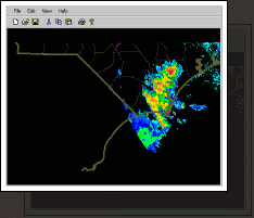
Animation : Large
Animation : Zooming
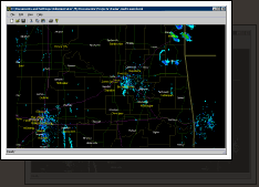
Mosaic : Zoomed In
Mosaic
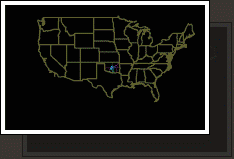
Mosaic : Zoomed Out