Projects
Home > Images > Live Radar Project > Development Folder
First successful name resource based display using WXML description file.
No borders shown, but shape of the US can be noticed by the name placements.
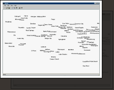
First Textual resources displayed via WXML
First successful NIDS based display using WXML descritpion file.
Note the colors, line size and state borders were also designated thru WXML.
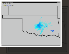
First NIDS displayed via WXML
Development of contour display.
Using NWS sites for irregular grid, a triangular mesh was developed (light gray).
Temperatures read from MDF files were used to interpolate values along this mesh resulting in colors plotted.

Note this version is being run on a Macintosh. By implementing Win32 GDI under the MacOS enabled cross-compiled, source level compatibility with no performance hit to the Win32 version and extremely little to none for the Mac version.
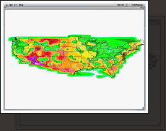
National Map Temperature Contour
Development of vector display.
Using NWS sites for irregular grid, a triangular mesh was developed (light gray).
Wind strength and directions read from MDF files were used to interpolate values on a regular grid resulting in the vectors plotted.
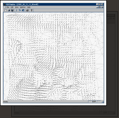
Vector plot development